
Berkas:Indonesia location map.svg

Ukuran pratayang PNG ini dari berkas SVG ini: 800 x 307 piksel Resolusi tanö bö'ö: 320 x 123 piksel | 640 x 245 piksel | 1.024 x 393 piksel | 1.280 x 491 piksel | 2.560 x 981 piksel | 1.200 x 460 piksel.
Berkas si föföna sibai (Berkas SVG, 1.200 x 460 piksel, fa'ebua berkas: 739 KB)
Furugönia
| Fanutunö |
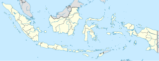
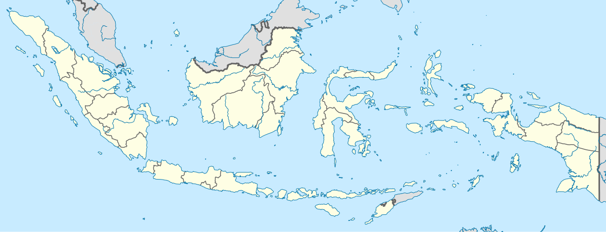
English: Location map of Indonesia.
Equirectangular projection. Stretched by 100.0%. Geographic limits of the map:
|
| Baŵa | |
| Kode | Nifazökhigu samösa |
| Sanura | Uwe Dedering |
| Versi lainnya |
|
Lisensi
Saya, pemilik hak cipta dari karya ini, dengan ini menerbitkan berkas ini di bawah ketentuan berikut:
Berkas andre so barö lisensi Creative Commons Atribusi-BerbagiSerupa 3.0 Si lö mubulö'ö
- Tola ölau:
- fa'ohe'ö – wo-kopi, distribusi ba transmisi mbua halöŵö
- mamaruka – mamulö'ö ba mamazökhi zibohou moroi ba halöŵö andre
- Molo'ö kondisi andre:
- atribusi – Si lö tola lö'ö ösura kredit, khai-khai silalö ba lisensi ba ombakha'ö na so nifabö'öni. Tola ölau ia molo'ö fangera-ngerau, ba hiza böi sura wa no ifarou ndra'ugö sololohe lisensi.
- fa'ohe'ö – Na öbulö'ö ba öfazikhi zi bohou moroi ba halöŵö andre, si lö tola lö'ö öbe'e kontribusimö faoma same or compatible license simane lisensi halöŵö asli.

|
Tetehegö wangai, wame'e ma wamulö'ö dokumen andre faoma Lisensi Dokumentasi Bebas GNU, Versi 1.2 ma zui sabölö afuria nifataro Free Software Foundation; lö Seksi Invarian, lö teks uli föna, ba lö teks uli furi. Kopi lisensi no tefaogö ba waosatö sotöi Lisensi Dokumentasi Bebas GNU. |
Fili lisensi somasi'ö
Waö-waö berkas
Höndrögö ba mbaŵa/ginötö wamaigi hewisa berkas ba ginötö andrö
| Baŵa/Inötö | Khala-khala berkas | Su'a-su'a | Sangoguna'ö | Komentar | |
|---|---|---|---|---|---|
| fondrege bohou | 4 Desember 2022 22.54 | 1.200 × 460 (739 KB) | NordNordWest | upd | |
| 3 Juli 2022 03.17 | 1.200 × 460 (910 KB) | NordNordWest | upd | ||
| 27 Juni 2013 03.21 | 1.200 × 460 (854 KB) | NordNordWest | upd | ||
| 18 Februari 2010 19.58 | 1.200 × 460 (1,2 MB) | Uwe Dedering | {{Information |Description={{en|1=Location map of Indonesia. Equirectangular projection. Strechted by 100.0%. Geographic limits of the map: * N: 6.5° N * S: -11.5° N * W: 94.5° E * E: 141.5° E Made with Natural Earth. Free vector and raster map |
Fangoguna'ö berkas
Te'oguna'ö ba 3 nga'örö andre berkas:
Fangoguna'ö berkas global
Wiki tanö bö'ö sangoguna'ö berkas andre
- Fangoguna'ö ba ace.wikipedia.org
- Fangoguna'ö ba af.wikipedia.org
- Fangoguna'ö ba als.wikipedia.org
- Fangoguna'ö ba an.wikipedia.org
- Fangoguna'ö ba ar.wikipedia.org
- Fangoguna'ö ba ast.wikipedia.org
Faigi more global usage berkas andre.