
Berkas:Indonesia Sumatra location map.svg

Berkas si föföna sibai (Berkas SVG, 1.240 x 1.058 piksel, fa'ebua berkas: 503 KB)
Furugönia
| Fanutunö |
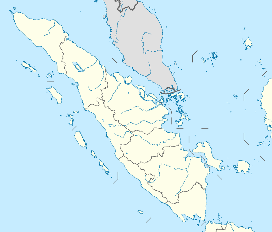
Quadratische Plattkarte. Geographische Begrenzung der Karte:
Equirectangular projection. Geographic limits of the map:
|
|
| Baŵa | ||
| Kode |
Nifazökhigu samösa, using
|
|
| Sanura | NordNordWest | |
| Fanehegö (Oguna'ö mangawuli berkas andre) |
Berkas ini dilisensikan di bawah lisensi Creative Commons Atribusi-Berbagi Serupa 3.0 Jerman.
 Berkas andre so barö lisensi Creative Commons Atribusi-BerbagiSerupa 3.0 Si lö mubulö'ö
|
|
| Versi lainnya |
|


|
This map has been made or improved in the German Kartenwerkstatt (Map Lab). You can propose maps to improve as well.
|
Waö-waö berkas
Höndrögö ba mbaŵa/ginötö wamaigi hewisa berkas ba ginötö andrö
| Baŵa/Inötö | Khala-khala berkas | Su'a-su'a | Sangoguna'ö | Komentar | |
|---|---|---|---|---|---|
| fondrege bohou | 8 Februari 2011 22.06 | | 1.240 × 1.058 (503 KB) | NordNordWest | =={{int:filedesc}}== {{Information |Description= {{de|Positionskarte von Sumatra, Indonesien}} Quadratische Plattkarte. Geographische Begrenzung der Karte: * N: 6.3° N * S: 6.5° S * W: 94.5° O * O: 109.5° O {{en|Loca |
Fangoguna'ö berkas
Te'oguna'ö ba 3 nga'örö andre berkas:
Fangoguna'ö berkas global
Wiki tanö bö'ö sangoguna'ö berkas andre
- Fangoguna'ö ba az.wikipedia.org
- Fangoguna'ö ba ban.wikipedia.org
- Taman Nasional Kerinci Seblat
- Danu Toba
- Gunung Seulawah Agam
- Gunung Peuet Sagoe
- Mal:Location map Indonesia Sumatra
- Gunung Patah
- Gunung Démpo
- Gunung Talamau
- Nusa Wéh
- Celuk Lampung
- Celuk Semangka
- Celuk Mandéh
- Celuk Sibolga
- Celuk Tapanuli
- Gunung Kerinci
- Taman Nasional Sibérut
- Taman Nasional Gunung Léuser
- Taman Nasional Batang Gadis
- Taman Nasional Berbak
- Taman Nasional Bukit Duabelas
- Taman Nasional Bukit Barisan Selatan
- Taman Nasional Bukit Tiga Puluh
- Taman Nasional Tesso Nilo
- Taman Nasional Way Kambas
- Taman Nasional Gunung Maras
- Taman Nasional Zamrud
- Tukad Batang Hari
- Tetamian Wana Sabeh Tropis Sumatera
- Orangutan Tapanuli
- Lis tukad ring Sumatra
- Lis tukad ring Sumatra Barat
- Lis tukad ring Riau
- Selat Karimata
- Fangoguna'ö ba ba.wikipedia.org
- Fangoguna'ö ba bn.wikipedia.org
Faigi more global usage berkas andre.